THE DIVINE FORGE™

TIÅMÅT / THE LIVING GROUND

A restless world.
A vanishing sea.

Beneath the drying surface, Tiåmåt is still moving. Heat rises. Rock fractures. Water disappears underground. The same terrain that shelters a community can threaten everything built upon it.

01 / FORCES BELOW

One landscape.
Connected pressures.

Internal heat, magma pressure and tectonic movement keep the crust active. Volcanoes, earthquakes, faults and uplift are expressions of a world whose interior has not fallen silent.

SOUTHERN VOLCANIC TERRAINSCHEMATIC SECTION
Volcanic terrain and its connected underground systemsA schematic cut through a caldera shows fractured rock, rising magma, underground water and mineral veins. Choose a process below to explore its relationship to the terrain. CalderaFractured rockDeep water

Heat from within

Internal heat and magma pressure drive volcanic activity. Calderas, old chambers, lava tubes and fumaroles shape a subsurface where heat and unstable ground remain part of everyday life.

Four moons periodically deform the crust and can modulate existing stresses, cracks and microseismic activity. They do not replace internal heat and tectonics as the drivers of volcanism.

02 / READING THE TERRAIN

Rock decides the route.

Mountains store ice. Ridges expose mineral wealth. Calderas gather heat and danger. Across Tiåmåt, settlements follow the places where water, shelter and passage remain possible.

I

Kishar Mountains

The mountainous threshold of the glacial north. Ice, gorges and valleys feed water systems and concentrate movement into a limited network of passes. Glacial retreat can open a route while consuming the reserve that sustains it.

The northern landscape ↗
II

Khur-Tarek Ridge

A volcanic and mining ridge where faults and veins of Tears cross political boundaries. Earthquakes, collapses and unstable deposits make the choice of sound rock as important as the shortest path.

The Tears of Tiåmåt ↗
III

The southern Belt of Fire

Calderas, lava plateaus, fumaroles and geothermal waters shape the Aqmorita south. Communities depend on protected aquifers, shaded canyons and routes that avoid gases, active lava and fractured ground.

Aqmorita traditions ↗

03 / ZARAKH · QUR’GAL

One mountain.
Different claims.

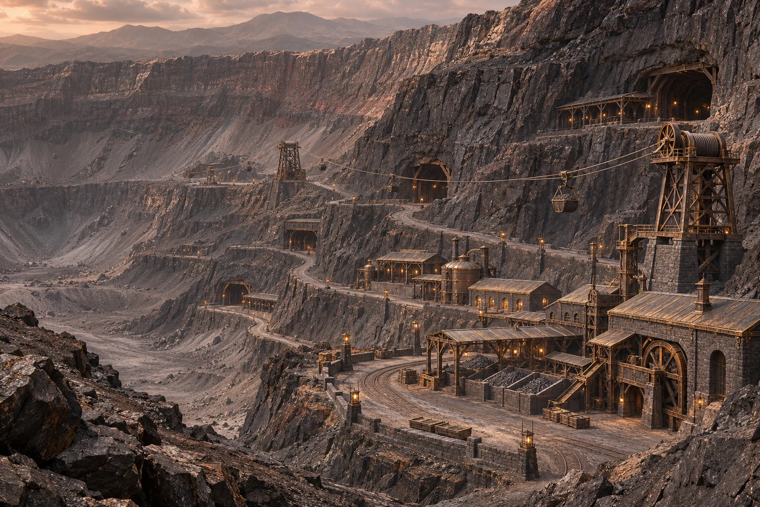
Zarakh is the Akkad name of the great active volcano; Qur’Gal is its sacred Aqmorita name. The Maw of Zarakh occupies its caldera system: an industrial world of platforms, vaults, galleries and extraction levels.

Faults, old chambers, lava tubes and hydrothermal circulation bring heat, fluids, repeated fracturing and veins of Tears into the same terrain. The conditions that make the mineral accessible also make its extraction dangerous.

For the mining administration, this is a concentration of resources and routes. For Aqmorita traditions, it is sacred ground and territorial memory. Neither experience can be separated from what happens inside the rock.
VOLCANOES & POWER

Not every source
belongs to Akdar.

Qur’Gal / Zarakh is Tiåmåt’s largest volcanic system, controlled through Norek Akdar’s extraction and industrial network. Other systems support other regencies—and some remain under local community authority.

East of Zarakh along the Khur-Tarek Ridge, Dazhuk—the volcano known in Aqmorita tradition as Qur’Daq—contains the Maw of Dazhuk, Tarek’s principal Tear-extraction complex. House Malurk controls the complex, its approaches, extraction works, processing infrastructure and surrounding deposits. Qur’Dareq and Qur’Veqar complement that principal source. The veins extend through Tarek and into disputed reaches of the Ridge, giving Ak-Malurk a competing supply and strategic leverage against Akdar’s extraction network.

Older Akkad calderas, Surian’s fissure fields and the geothermal coast also sustain heat, stone, smaller workings and routes. The volcanic economy is a network of sources and dependencies, rather than one mountain serving the entire world.

Explore the volcanic atlas: regents, resources & hazards ↗

04 / WATER UNDER STONE

Hidden does not mean safe.

In the volcanic south, much of the water people depend on is concealed by rock: wells, springs, deep channels, caves and aquifers protected from surface evaporation.

Faults and aquifers

Fractures provide pathways through a complex subsurface. Deep stores and protected channels sustain places where little reliable water remains visible above ground.

Kur-Velakh

The Sea of Ash belongs to the southern geothermal landscape. Mineral springs and fumaroles feed parts of its system, but many waters are mineral-rich, acidic or unsuitable for drinking.

Vapor made usable

The Maw captures fumarole vapor and condenses it. The liquid passes through treatment, settling and storage before consumption; drinking water is kept separate from water used for cleaning, machinery and industrial processes.

05 / THE SHORE THAT MOVED

The sea retreats.
The world changes hands.

When ocean exchange weakens and evaporation exceeds what the remaining inflow can replace, a basin shrinks and dissolved salts concentrate. Old ports, fossil cliffs, mineral terraces, salt crusts and remnants of channels mark the former shore. Ground that appears firm can conceal brine and unstable sediment. Along the retreating Kur-Ashek, former coastal settlements must reach farther for the water that once stood beside them.

In Kur-Nak, the former northern strait, gradual uplift brought a shallow sill closer to the surface. The shoreline fell relative to the rising ground even while early meltwater could raise the mean sea level. Tidal currents persisted in the narrowing channel before the sill emerged as Vel-Karak, the North Bridge. Deeper waters still flank the ridge, and one residual tidal reach serves local landings. Each of the five former seas lost its continuous water along a different shoreline. Explore the changing shorelines ↗

The landscape is a network of thresholds: a pass, a fracture, a caldera rim, a shrinking shore. Control one, and whole routes can change.

Continue exploring

Places & routes ↗